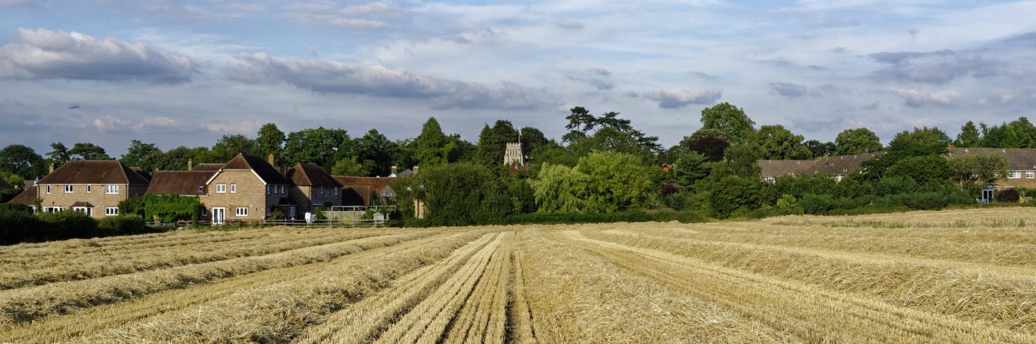
The numbering of public Rights of Way, which includes footpaths, bridleways and byways is a mystery to most people. Those within Effingham and surrounding areas are shown are the website under the “About Effingham” and can be accessed here
A more detailed map showing footpath 75 is shown below
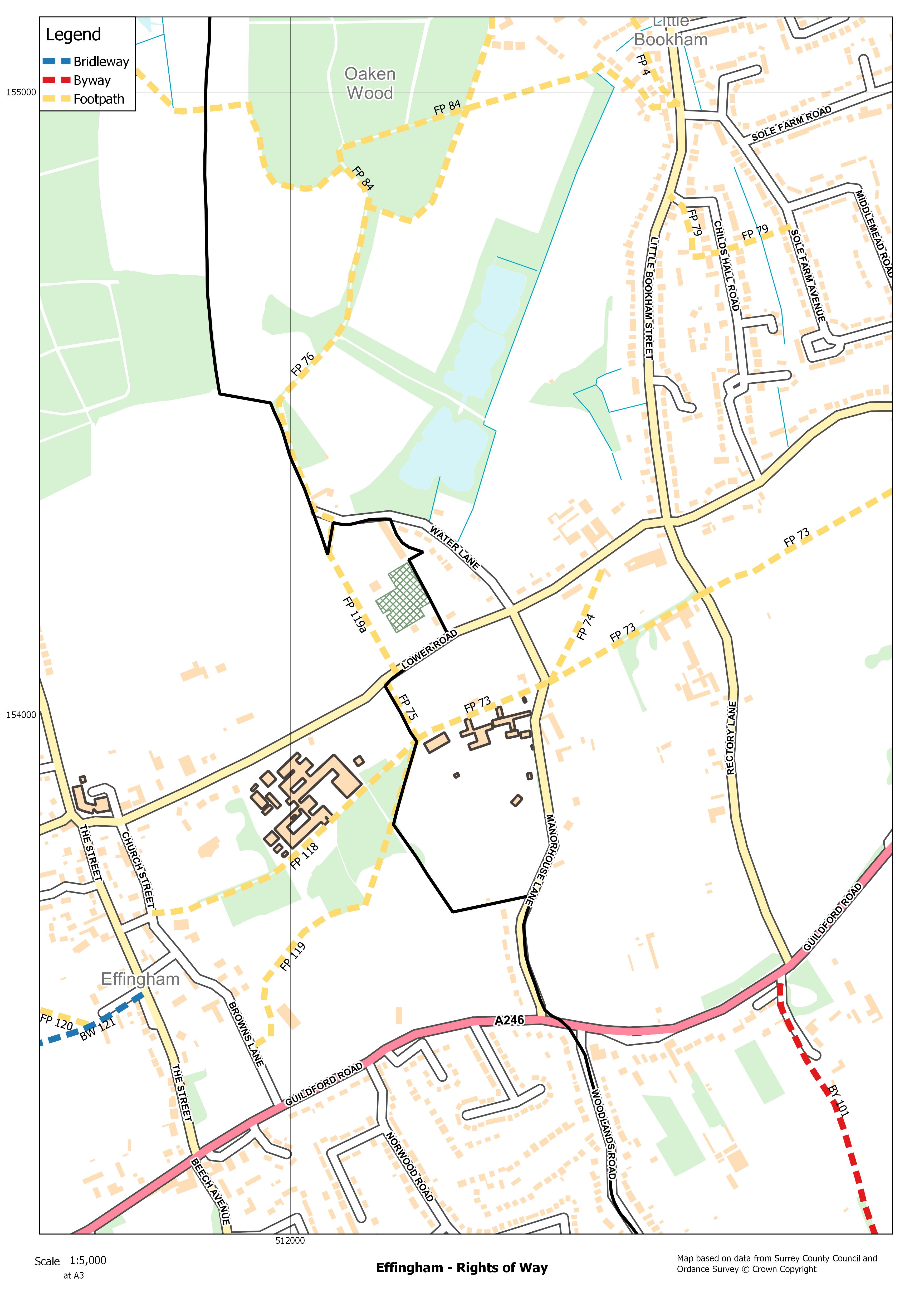
Footpath 75 has not always been in its current location, running along the eastern side of the hedge which forms the parish boundary. The original route of the footpath is a direct line from the western side of All Saints Church graveyard, north towards to Dunglass Farm and then continues on towards the Keepers Cottage (now demolished) at Oaken Wood. The footpath is shown marked on the 6″ Ordnance Survey map, which was surveyed in 1869 and published in 1873, click here.
The original route of the footpath was most likely been in existence for hundreds of years, being the route to the church from the farm. The section between Lower Road and the Dunglass Farm is now known as Footpath 119a (the footpath that runs alongside The Vineries). The section of the footpath north to the Keepers Cottage has been lost, and public access is now along the northern part of Water Lane, and in Rights of Way speak, Footpath 76.
Between surveys is 1894 and 1912, the Ordnance Survey maps show a new footpath had been created which ran diagonally from the parish boundary in the south across the field to join All Saints Church footpath at Lower Road. The 1912 map also shows The Vineries.
The 1934 survey (published in 1936) shows the two footpaths have been moved to run along the parish boundary. The Allotment Gardens are shown on the map on the northern side of Lower Road. Effingham Allotments have since moved to the west of the village.
Interestingly Footpath 119 which runs across the KGV playing fields used to run to the corner of Browns Lane with the A246.
Today, I have been in touch with Surrey Police,they have no record of any report from the Howard school of an assault with in the vicinity or of the jurisdiction of the school of foot path 57. I did this as a general enquiry not as a freedom of information act so this not authoritative but the Police seem to have nothing on file.
We now have three options to to consider:
One : there is no threat.
Two: The school are not reporting incidents
Three: the school are not telling the truth.
James Nicholls
EFFRA will be responding to the Howard School’s informal consultation on public footpath 75 based on residents’ views. The EFFRA committee is grateful for residents’ feedback and will endeavour to represent them.
In the meantime here is a little more history of the footpath. Public footpath 75 is actually located on or close to an ancient trackway that led from the Upper Road (now the A246) to the Lower Road. Manor House Lane used to divide into two trackways at the first bend after Manor House Lane starts from the A246. The right or eastward fork largely followed the current route of the road although instead of taking a sharp corner and passing what is now Manor House School’s carpark it turned right and passed in front of Manor House Farm and past the Tithe Barn before resuming its current course. This was because Manor House Farm was almost certainly the medieval manor house of Little Bookham Manor. The left or westward fork largely followed the old boundary between Little Bookham and Effingham on the Little Bookham side finally taking a route close to that of public footpath 75 to the Lower Road. The route of this old trackway can still be followed across a private garden and the grounds of Manor House School by a change in ground level, although some of it has been leveled out. The left or westward fork had disappeared by the time of the first Ordnance Survey Map in the early nineteenth century. It was probably closed in the early eighteenth century when the Pollen family built a new manor house where Manor House School now stands and did not want a public trackway going through their park and garden. What was probably the old manor house then became the farm house for the manor.